It’s continuing to decrease: the block remains on screen, and the project progresses phase by phase, with the actual work carried out by i-mas in each phase.
Phase 1 / 4The project
Project update
Fase 01 · The project
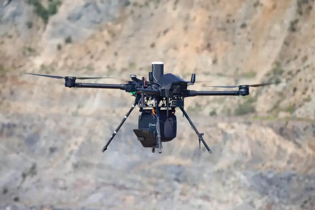
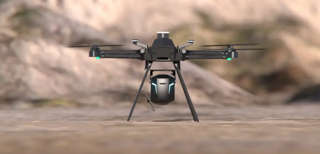
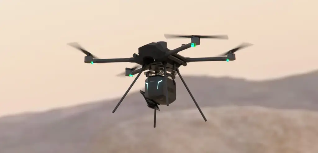
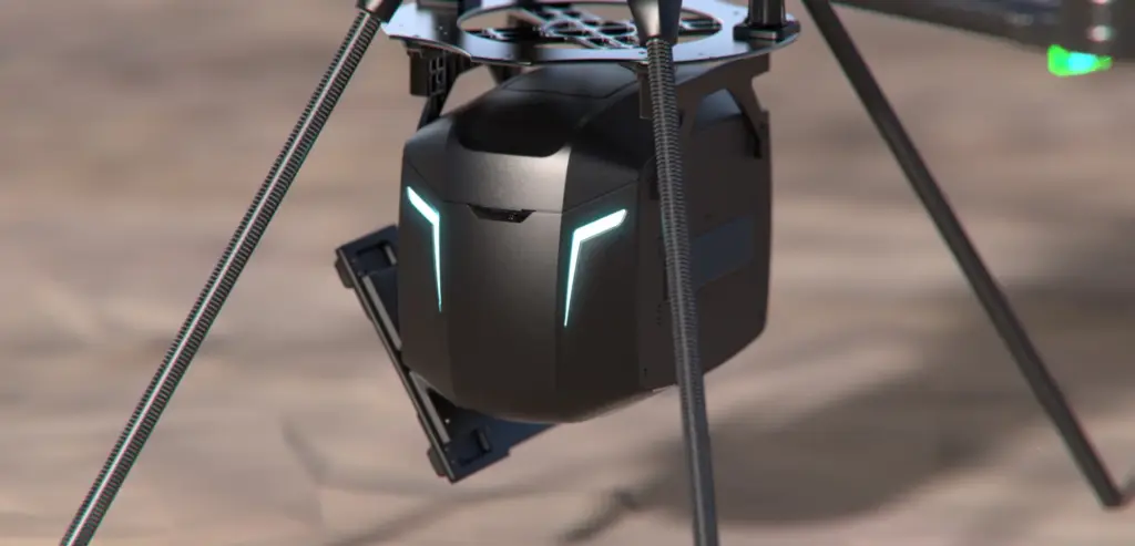
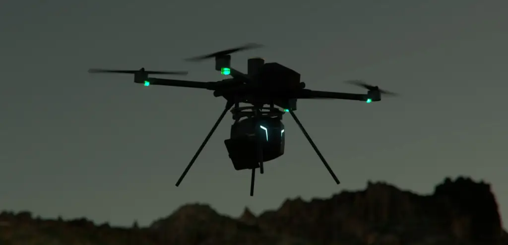
SARDrone is an innovative geotechnical monitoring system utilizing Synthetic Aperture Radar (SAR) mounted on autonomous drones. Developed by DARES Technology, it is designed to detect and quantify ground movements in near real-time and with millimeter precision, even in the most challenging environments.
Its primary value lies in the combination of mobility, autonomy, and radar capability within a single system designed to operate in critical areas such as active mines, strategic infrastructure, or difficult terrain.
Fase 02 · The challenge
Precision and reliability in extreme environments.
The main challenge was to design a system capable of maintaining the radar SAR’s millimeter-level precision while integrating it into an autonomous aerial platform exposed to adverse conditions: dust, vibrations, humidity, and extreme temperatures.
Furthermore, it was necessary to ensure the repeatability of flights and the consistency of data, in order to allow for reliable multi-temporal analysis, while minimizing human intervention in high-risk areas.
Fase 03 · Development
Advanced integration and field validation.
The technical team worked on optimizing the drone-radar system, prioritizing flight stability, synchronization between sensors, and the secure transmission of real-time data.
Intensive iterations and testing were carried out in active mines, which allowed for adjustments to flight parameters, improvements to radar calibration, and reinforcement of the drone’s structural integrity.
The system achieved a spatial resolution of up to 25 cm and millimeter-precise 3D reconstruction of displacement vectors. It also incorporated the ability for daily revisits, generating data histories that facilitate the analysis and prediction of geotechnical risks.
Fase 04 · Final product
A new standard in geotechnical monitoring.
The result is an autonomous, rapid, and highly accurate monitoring system that is redefining the way ground stability is analyzed. SARDrone enables the identification of movements in under an hour and operation in logistically complex areas without putting personnel at risk.
Thanks to its integrated SAR technology and autonomous flight capabilities, it becomes a unique tool for risk prevention, operational safety, and predictive planning in sectors such as mining, infrastructure, and natural disaster management.
We use our own and third-party cookies to know how the website is used and which campaigns work. You can accept them all, reject them all or choose which ones; the website works either way. Cookie policy.